Great minds, industry leaders share hopes for the future
What are the top three challenges for the geospatial sector right now?
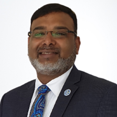
Dr Zaffar Sadiz Mohamed Ghouse
Director, Advisory & Innovation
Woolpert Asia-Pacific
- Fragmentation of niche services into united niche offerings. More coalition of niches to offer one-stop geospatial services.
- Invest in capacity and capability development at the school level to address digital twin and digital transformation requirements.
- Recognition of Geospatial Skills by the government and private sector. Eg. GISP is listed as a parameter in procurement.
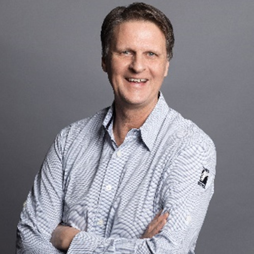
Alexander Wiechert
CEO Vexcel Imaging
- Discovering young talent: Attracting promising young talent to the aerial survey industry is a challenge due to the lack of visibility and recognition of this dynamic field.
- Overlooked contributions: Despite the significant contributions that the industry makes to society, it remains largely unrecognized and invisible to the public eye.
- Standardisation issues: The lack of well-defined standards for end products can lead to misleading outcomes and poses a challenge for the industry to meet expectations.

Darren Mottolini
Director Spatial WA, Landgate
- Challenge One: How can we embrace the digital change that has already informed and influenced the next generation coming through, so we ensure that geospatial capabilities and excellence remains a domain that people want to get involved in, and not simple be taught through Chat GBT and other online resources. This is a question of relevance in a digital age.
- Challenge Two: Is to ensure we build a single, accessible body of knowledge, known through a single voice so ‘geospatial’ remains a skilled domain, that future generations want to be involved in. We are already seeing undergraduate degrees in geospatial fields be consumed by other fields of knowledge and I don’t believe this will change any time soon, yet the opportunity exists to embed critical skills into many domains now. How we embed our value into many domains will be through the art of communication, awareness so value is perceived by others and not simply by what we say.

Graeme Kernich
CEO FrontierSL
- Attracting, training and retaining the skilled workforce needed to meet the growing and evolving demand for spatial information
- Educating leadership that the challenges of today relating to better preparedness to our changing world, require a robust and increased use of space based and spatial information within their decision-making frameworks. To be more effective in terms of resource use and impact will require more timely, more frequent and better-quality data.
What’s your advice to young geospatial professionals?

Jacinta Burns
Board member, Geospatial Council of Australia

Daniel Paull
Nearmap Australia & New Zealand
What are you looking forward to seeing happen in your field of practice?
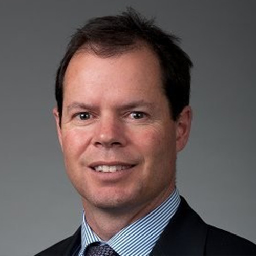
Michael Giudici
Surveyor General, Tasmania

Mary-Ellen Feeney
Director Solutions Delivery
Yokogawa Australia and New Zealand ·
- The next generation of geospatial and survey technologies and their interoperability with a range of sensors, IIOT, engineering solutions. .
- The directions of AI and machine learning in information, data and process automation and the harnessing of cloud and edge computing..
- The diversification of spatial digital twins to simulation and process as enablers of predictive analytics..
- A diverse and equitable workforce.
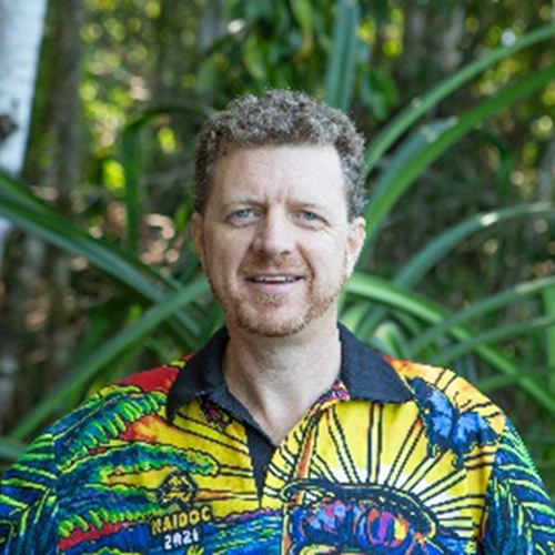
Alistair Hart
General Manager
Mangoesmapping
I’m also really looking forward to increasing unification of very precise and rich dynamic field data. I see this integrated in real time across mobile, desktop and web platforms, linking project managers and surveyors in the field. I see this increasingly happening regardless of location due to low earth orbit communication platforms like Starlink.
