A sense of place in the world
In our digital world, the professions across the field of GIS, digital analytics and remote sensing, are rapidly evolving. This Area of Practice represents the most senior practitioners as well as the development of new and emerging professionals in these nationally and globally important careers. Welcome to the community dedicated to sense of place and the Australian professionals shaping the world.
The GIS, Digital Analytics, and Remote Sensing (GDARS) Area of Practice Committee is focused on promoting best practices, standards, and guidelines for the collection, processing, and analysis of geospatial data using these technologies. By sharing knowledge, experience, and best practices, the Committee helps our members stay up to date with the latest trends and developments in their respective disciplines.
The Committee recognises the critical role that GIS, digital analytics, and remote sensing play in a wide range of applications, from urban planning and natural resource management to disaster response and public health.
To get involved in the GDARS Area of Practice Committee, you can contact info@geospatialcouncil.org.au
Certification
Professional expertise is acknowledged under the internationally-recognised Geographic Information Systems Professional (Asia Pacific) (GISP-AP) Certification. Both members and non-members are eligible to apply for GISP certification.
Chair GIS, Digital Analytics and Remote Sensing
Dr Jagannath Aryal

Deputy Chair GIS, Digital Analytics and Remote Sensing
Brittany Baker (Dahl)
About GIS: Spatial information & cartography
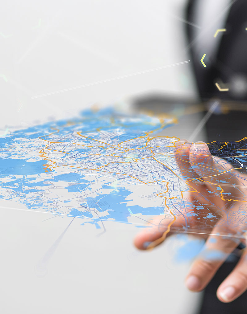
Knowing the location of people, assets and places; understanding how connections are modified by distance, and rendering vast tracts of data in an intuitive graphical format, is the essence of spatial information and cartography.
Every asset has a location, and every person has a place they want to be. Society places great value in acquiring the best location for a business, or calculating the most efficient route. Our profession makes it possible to make these decisions in a measured and rigorous manner.
All industries, from mining and agriculture to manufacturing and services, will at some point need to recruit the spatial information and cartography profession to assist in managing their assets and future growth. A GIS professional is often the enabler that helps other disciplines make sense of their data.
GIS professionals are to be found out in the field taking measurements, liaising with IT to provide services or delivering information to customers and clients. They operate at a range of levels from national governments down to local business. Our maps are as old as history and our spatial databases put the latest computer hardware to the test.
About remote sensing
The term “remote sensing” is believed to have been used first in the United States in the 1950s, and is now commonly used to describe the science and art of identifying, observing and measuring objects or phenomena without coming into direct contact with them. Described very generally, this process involves the detection and measurement of radiation of different wavelengths reflected or emitted from distant objects or materials, by which they may be identified and categorized by class/type, substance and spatial distribution. There is no special significance, however, in the degree of “remoteness” of the sensor from the object surveyed, and any form of non-contact observation can be regarded as remote sensing.
GIS professionals are to be found out in the field taking measurements, liaising with IT to provide services or delivering information to customers and clients. They operate at a range of levels from national governments down to local business. Our maps are as old as history and our spatial databases put the latest computer hardware to the test.
Satellite remote sensing can be traced to the early days of the Russian and American space programs. With the emergence of the space programs in the 1960s, satellite imagery was used for meteorological purposes. However space remote sensing really began in a commercial sense with the launch of the ERTS satellite, later named Landsat-1 in 1972. It has developed a great deal since the early days of Landsat, with hundreds of satellites now in space, acquiring data in a broad range of wavelengths and spatial resolutions.