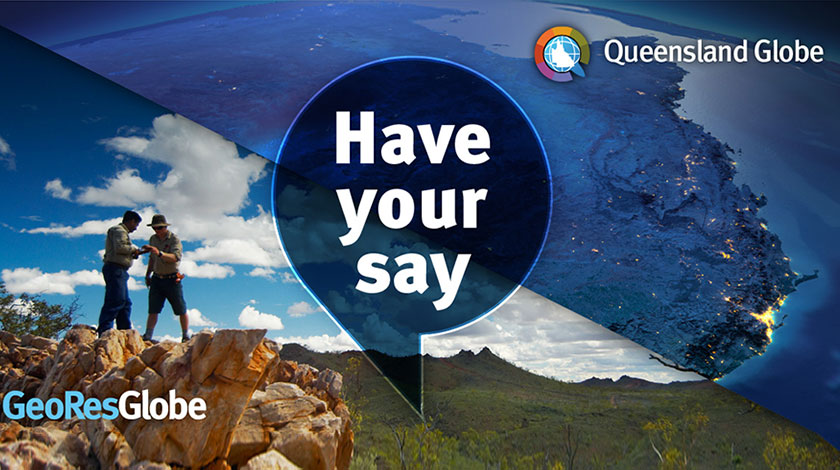
The Queensland Globe provides an online interactive experience to view Queensland’s location-based information.
For the past decade, Queensland Globe has enabled easy visualisation and open access to over a thousand state-wide spatial datasets.
GeoResGlobe was introduced in 2019 and focuses on mining and exploration data. With over 600 spatial data layers, GeoResGlobe assists with the administration of permits and assessment of mineral potential in Queensland.
A full review of Queensland Globe and GeoResGlobe is currently underway with a survey to support mapping a course for the future.
Your feedback will help drive innovation and support the delivery of accessibility and functionality across the Globes.
You are invited to take the survey and become an influential voice in shaping the future of spatial data access in Queensland.


0 Comments