INDIVIDUAL AWARDS WINNERS
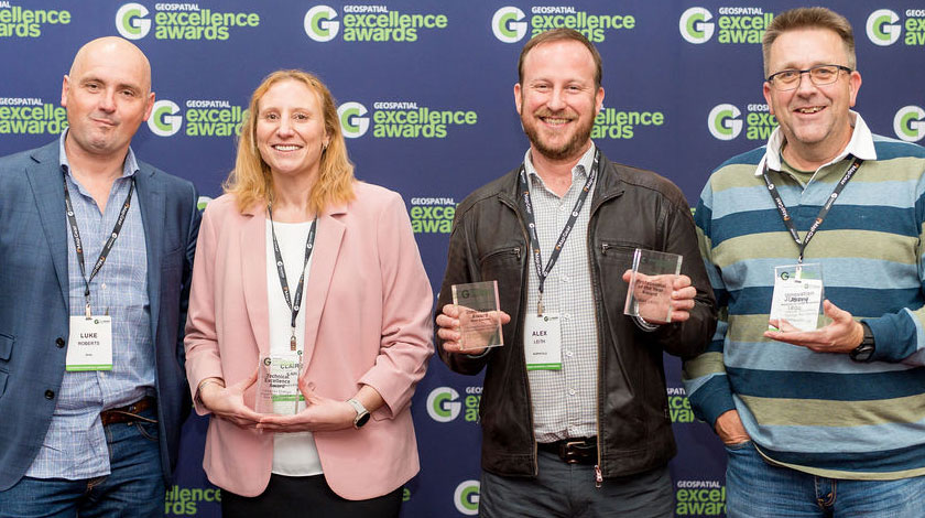
Professional of the Year Award
Alex Leith, Auspatious
Alex Leith is a dedicated and inspiring leader who has profoundly impacted the geospatial profession through his extensive experience in geospatial consultancy, data science, and cybersecurity. His active volunteer work and leadership roles in organisations like OSGeo Oceania and the Geospatial Council of Australia showcase his commitment to advancing the field. Alex consistently challenges conventions, and his curiosity and technical brilliance have driven him to tackle diverse and demanding roles, consistently delivering impactful outcomes that benefit both the sector and the broader community. According to the judges, Alex has made a significant contribution to the industry throughout his long career in the spatial field, providing essential technical expertise in the GDA2020 transformation, and excelling as a leader over many years.
INDUSTRY AWARDS WINNERS
Innovation Award – Small Business
Auspatious, FrontierSI and the CEOS Systems Engineering Office for The Cloud Native Geospatial for Earth Observation Workshop
The Cloud Native Geospatial for Earth Observation Workshop, held at SatSummit in May 2024 in Washington D.C., introduced participants to modern methods for working with earth observation data, with a focus on real-world applications such as measuring land productivity for the UN SDG 15, Life on Land. The hands-on workshop utilised cloud-based tools, with many participants stating that what they learned would fundamentally change how they work in the future. The workshop’s success highlights the potential of cloud native geospatial technology to democratise access to earth observation data, delivering significant economic, environmental, and societal benefits. Judges praised the workshop, noting, they were impressed with what was achieved on such a small budget, demonstrating that it is possible to make a difference with wisely allocated resources. The vision of extending earth observation data access beyond the spatial industry was commended, as it opens up opportunities for many industries that could benefit greatly if they were aware of its existence and how to utilise it.
Innovation Award – Medium to Large Business
Veris for its Hellyer Gold Mine Tailings Monitoring
Veris implemented an innovative IoT monitoring solution for Hellyer Gold Mine in Tasmania, revolutionising the management of tailings by optimising their distribution through real-time data visualisation and analysis. This cutting-edge solution not only addresses the widespread challenges of tailings management in the mining industry, but also promotes sustainable practices and future resource recovery. The judges praised the project as ‘a fantastic demonstration of using geospatial technology in a non-traditional area,’ highlighting its tremendous value due to its cost-effectiveness, simplicity, and reliability in tackling site-specific challenges.’
Technical Excellence Award
Tasmania State Emergency Service, Mineral Resources Tasmania, and the Department of Premier and Cabinet for its Tasmanian Strategic Flood Map – Baseline Risk Assessment
The Tasmanian Strategic Flood Map – Baseline Risk Assessment represents a significant advancement in flood risk management for Tasmania, building on the Tasmanian Strategic Flood Map to create the state’s first digital twin for strategic flood risk assessment. This innovative toolset is transforming how the State Emergency Service assesses flood consequences, enabling more informed policy development, planning, and management decisions. By integrating flood modelling with land-use and vulnerability data, the flood map performs spatially enabled, quantitative flood risk assessments on a state-wide scale. The project developed automated GIS-based processes for complex multi-scale risk profiling, resulting in 10-meter state-wide risk overlays and detailed risk summary profiles for each impacted community across Tasmania. The judges were thoroughly impressed, stating, ‘What a submission! A truly exciting project with fantastic detail that highlights the complexity of the challenge, and the significant technical methodology involved. It’s great to see that so many end users will benefit from this. The involvement of stakeholders through the technical working group was a particularly noteworthy aspect.’
0 Comments