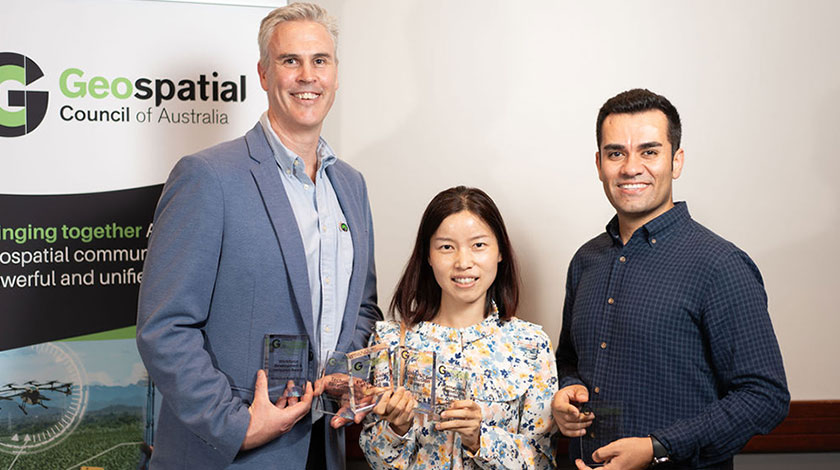
International Partnership Award:
CSIRO, Geoscience Australia, FrontierSI and Symbios Communications for Earth Observation for Climate Smart Innovation
This initiative strengthened regional collaboration between Australian and Southeast Asian scientists, students and innovators to build market interest for products and services that use geospatial technology and Earth observation to address the impacts of climate change. The initiative deployed a new, in-region, high-performance Earth observation analysis platform powered by CSIRO’s Earth Analytics Science and Innovation (EASI) technology. This provided a foundational technical capability to enable users from Australian and Southeast Asia to take advantage of Earth observation data and the advances of commercial cloud computing, without the need for local storage or supercomputing infrastructure. Judges said that this was a very worthwhile initiative covering a broad range of projects with diverse reach of participation and certainly overcame some significant barriers.
Technical Excellence Award:
McMullen Nolan Group for Geographe Bay Coastal Survey
Geographe Bay is approximately 200km south of Perth and is the subject of a multiyear Coastal Hazard Risk Management and Adaption Plan managed by the City of Busselton and in partnership with National Emergency Management Agency. A comprehensive and detailed digital elevation model of the Geographe Bay coastline from Aerial Laser Scanning, Airborne Bathymetry LiDAR, hydrographic multibeam echosounder, plus topographical mapping was captured, to enable numerical modelling for coastal hazard risk management. The Judges said this was a good example of multi-capture survey methodology of the coast and the technical challenges and limitations were clearly identified with contingency solutions detailed.
Award for Workforce Development and Inclusion:
McMullen Nolan Group for Workforce at MNG
MNG have completed their first Equity, Diversity, and Inclusion Action Plan including the implementation of an EDI Policy, training, and tracking diversity metrics. They have also achieved a significant milestone by developing and implementing a Reflect Reconciliation Action Plan. Judges said that this program is a step in the right direction and MNG have a holistic and wide-reaching program, with clear diversity benefits and training initiatives. Their involvement in the MyFuture program is great work to encourage indigenous education, whether it is in spatial sciences or other fields of interest.
Diversity and Inclusion Award:
Lavender Liu
Lavender brings technical excellence and leadership as an early career Earth Observation Data Scientist. She is a champion for diversity and inclusion in the industry, and a role model for many. Lavender is an inspiration in our industry having mentored four Master’s students from various undergraduate background while working in the University sector. Her technical leadership has had far-reaching impacts, and she has contributed to building a more inclusive and diverse geospatial community through her technical leadership, delivery and contributions to user-centred projects that benefit a wide user community. Judges said that Lavender is a terrific role model, and elevation of diversity profiles in the geospatial industry and they look forward to watching your impact in the coming years.
Postgraduate Student Award:
Amir Allahvirdi-Zadeh
Amir is an expert in the field of precise positioning and navigation using GNSS. He successfully completed his PhD program at Curtin University, where his research focused on the precise orbit determination of CubeSats and its applications in both space and earth sciences. Currently, Amir is a Research Associate at Curtin University, working on LEO PNT concept, and developing the precise orbit determination module for LEO satellites in the GINAN processing software. With his comprehensive knowledge and hands-on experience, Amir contributes significantly to the advancement of PNT technologies in the context of CubeSats. Judges said it is a very technical area of expertise with a high level of skill and understanding of a complex subject required and that Amir’s motivation will be a driver for future recognition.
Future Leader of the Year Award:
Lavender Liu
A Chinese Australian, Lavender (Qingxiang) brings an incredible technical skillset alongside her strong leadership skills to make a real difference for Australia’s geospatial industry. In her early career, she demonstrated both an outstanding grasp of complex technical knowledge and skills as an Earth Observation Data Scientist, and strong leadership capabilities. She is dedicating her career to using Earth Observation data and techniques to solve real-world problems, with a key focus on environmental monitoring as a driver of impact for people and planet. Lavender received a full scholarship to complete her PhD at UNSW after her undergraduate studies in China. Following completion of her PhD, she started working as a Remote Sensing Analyst for Astron Environmental Services and was promoted as a Senior Analyst after only one year due not only to her strong technical capabilities, but her ability to grasp complex problems quickly, to work with a variety of stakeholders well, and to showcase leadership through delivery of several highquality projects. After over two years of consultancy experience, she worked as a lecturer for Harbin Engineering University before joining FrontierSI as an Earth Observation Data Scientist in 2022. She has also presented at several conferences and workshops in the past 18-months. Judges said Lavender is an outstanding geospatial professional with wealth of knowledge and leadership capabilities who has achieved great things and will continue to do so.


0 Comments